Hola amigos.
Nuestra excursión semanal hoy ha sido a la cima de Larrondoa en el valle de Belagua, hemos aparcado donde el silo de la sal en la carretera que de Isaba sube a Belagua después del cruce a Zuriza.
ACCESO GUÍA MICHELÍN. Desde Isaba tomar la carretera a Belagua y aparcar donde el silo de la sal.
ITINERARIO
APARCAMIENTO 780 M
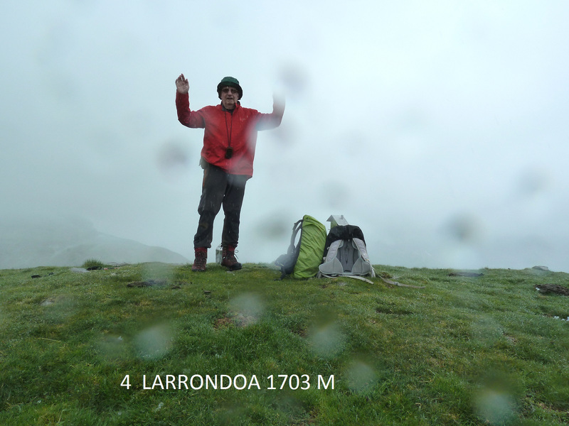
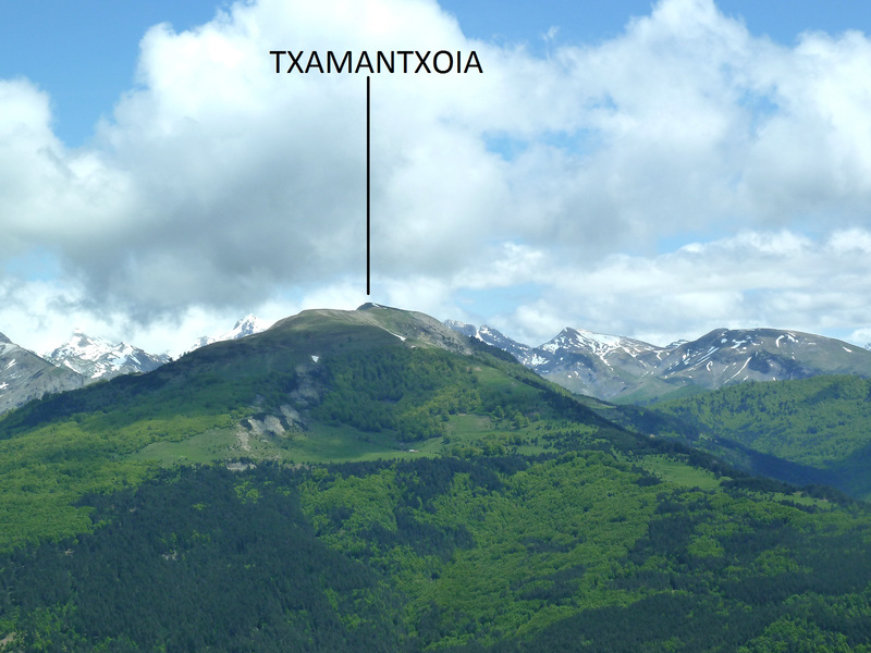
CIMA DE LARRONDOA 1703 M
DESNIVEL 923 M
DISTANCIA I-V 15 KM
TIEMPO TOTAL 8 HORAS
TIEMPO EN MOVIMIENTO 7 HORAS
DESCRIPCIÓN
Desde el aparcamiento subimos por una pista que hay enfrente hasta su terminación. Aquí por la izquierda en ascenso subimos al lomo de la sierra y por la derecha sin pérdida seguimos las marcas del PR , en algún tramo del sendero hay mucho barro.
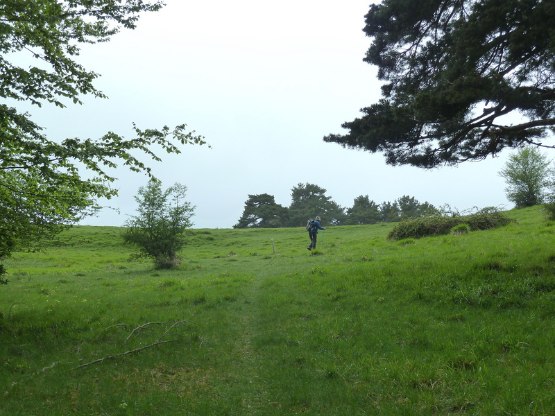
Salimos a terreno despejado y las marcas van en postes en el suelo , empieza un poco de xirimiri y eso que en las páginas del tiempo que yo he mirado no daba esto sólo nubes y claros. Seguimos las marcas hasta que se van por la derecha es el sendero de los contrabandistas por el cual bajaremos. Nosotros todo tieso PERO hemos visto subiendo esta pala un sendero a la izquierda y hemos marchado a investigar y ha sido nuestra perdición lo hemos seguido pensando que subiría por el hayedo y no ha sido así por lo que hemos tenido que subir a estilo jabalí a encontrar el sendero.
En el TRAK he borrado este tramo y le he puesto una raya que creo que lo habré hecho bien pues hay que subir la pala por lo limpio saliendo arriba a el hayedo.
Llegados a la cima nos recibe con unas pelusillas de nieve por lo que nos hacemos la foto y como no se ve nada pues para abajo hasta el sendero de los contrabandistas que hemos tomado y aquí otro MARRÓN el sendero estaba embarrado y resbaladizo y hemos salido hasta las orejas de barro, el tiempo ha mejorado y al salir de este marrón hemos parado a comer. Ahora ya por el mismo camino de subida al aparcamiento donde en Isaba nos hemos hidratado con una caña con gaseosa.
NOTA. El sendero de los contrabandistas yo creo que estará embarrado todo el año.
EL TRAK. PINCHAR PARA VER
SI NO SE VEN LAS FOTOS PINCHAR AQUÍ
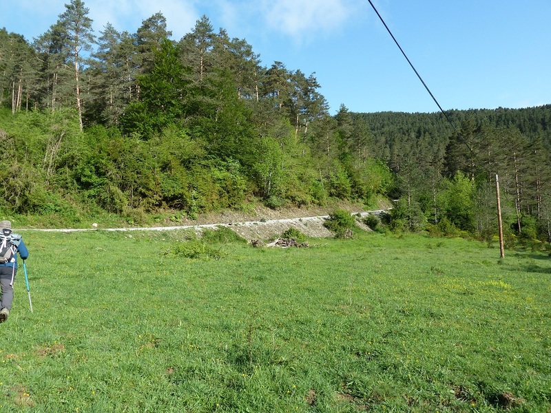
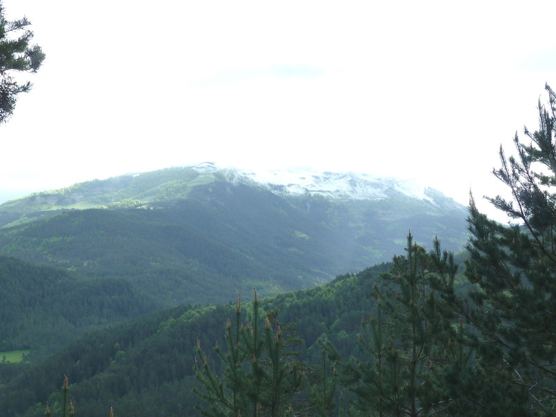
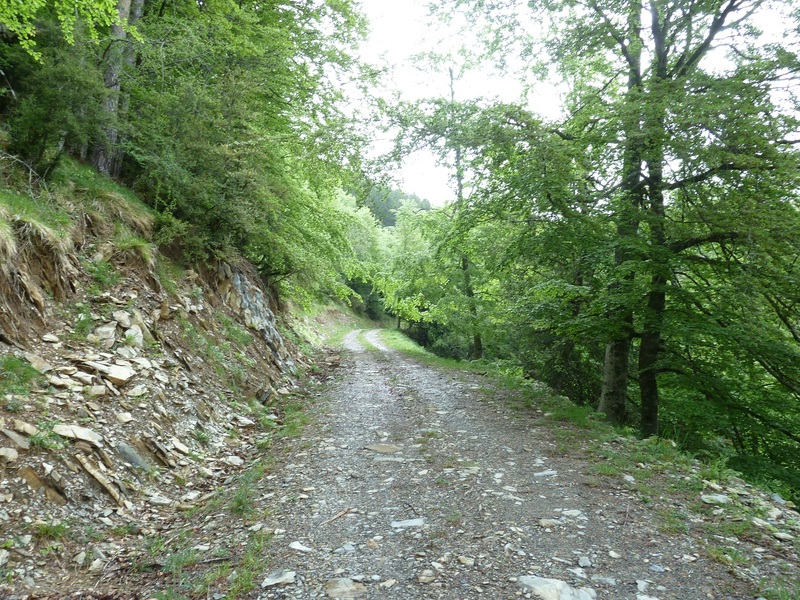
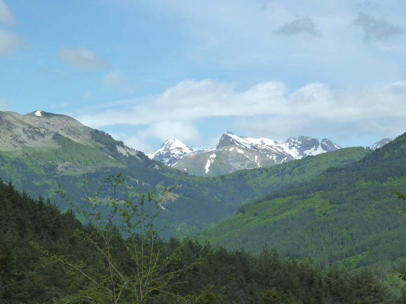
Como se puede apreciar empezamos a caminar con un día bastante bueno.
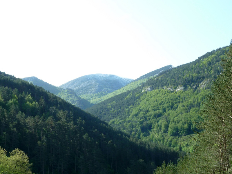
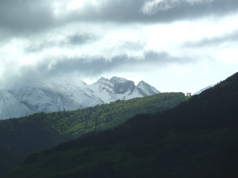
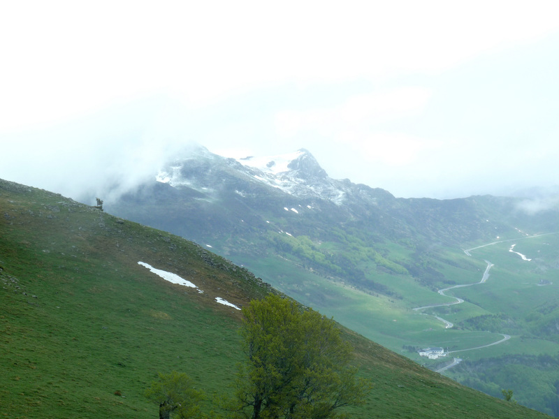
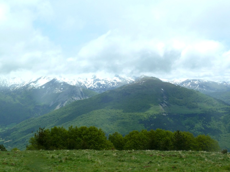
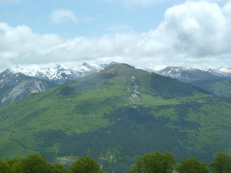
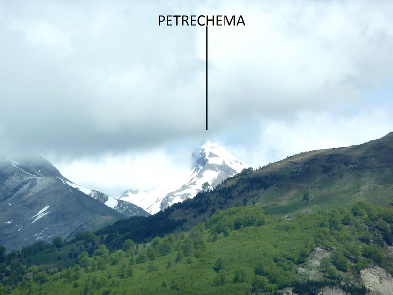
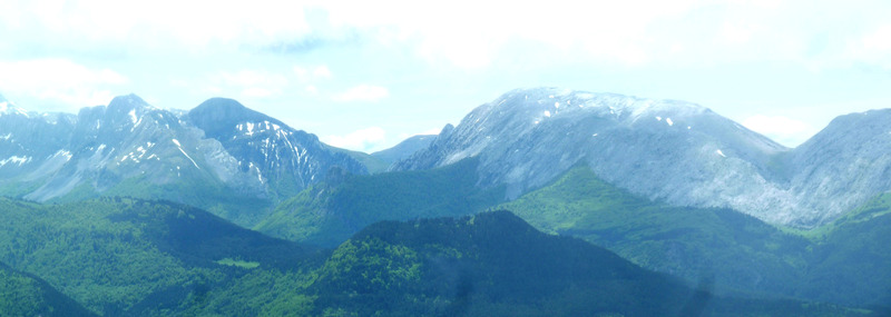
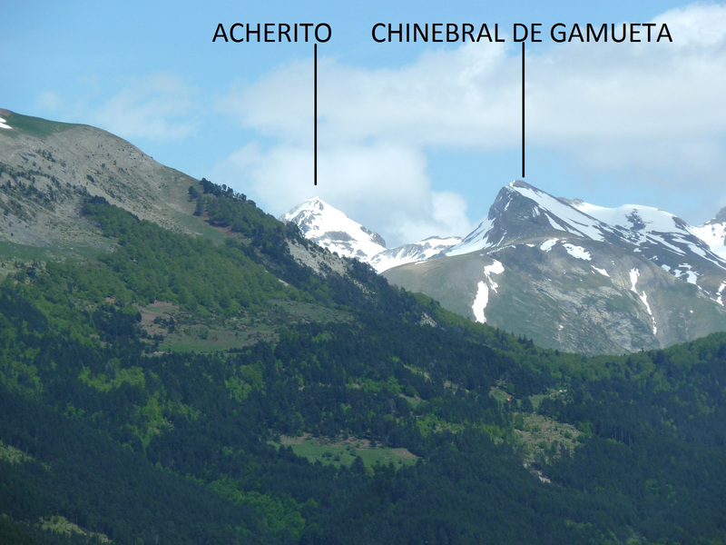
Mirada,las lluvias de ayer han blanqueado un poco las cimas altas.
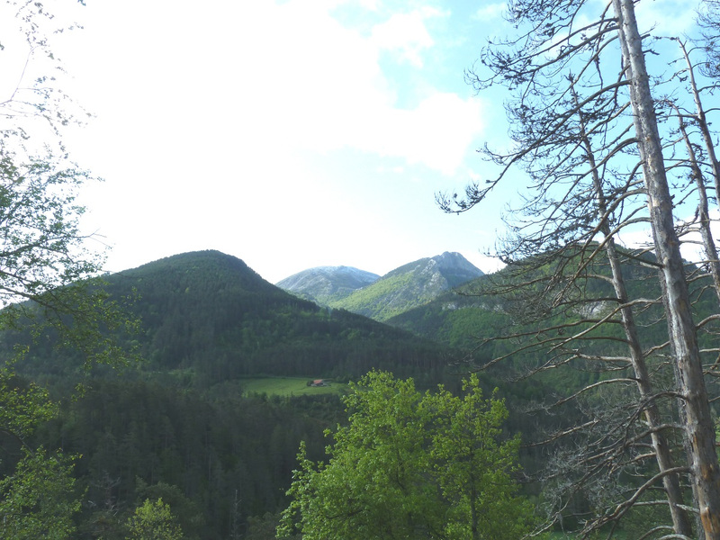
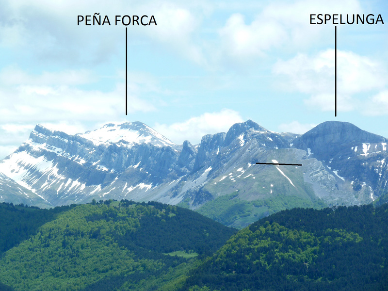
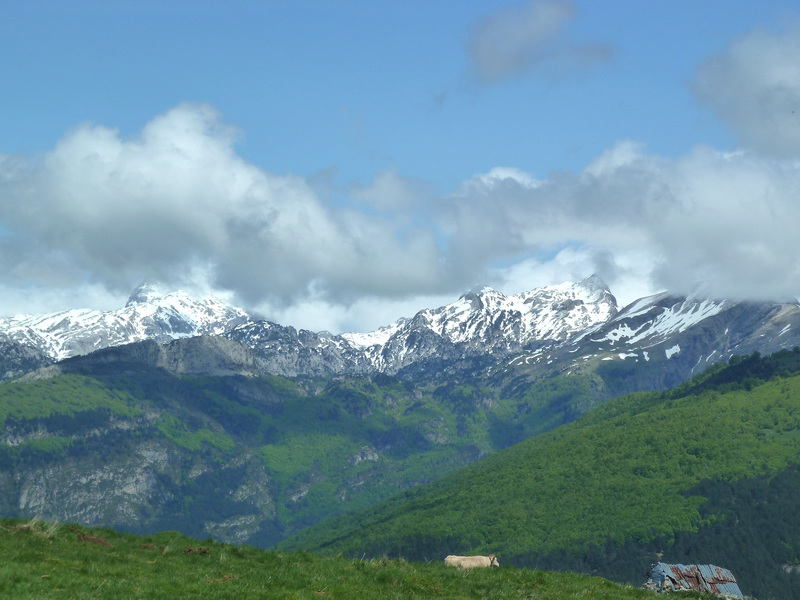
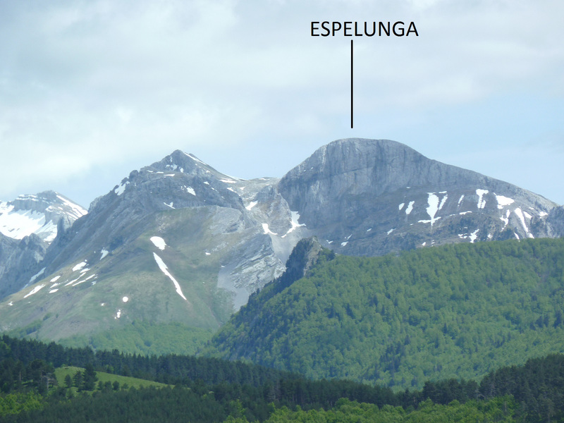
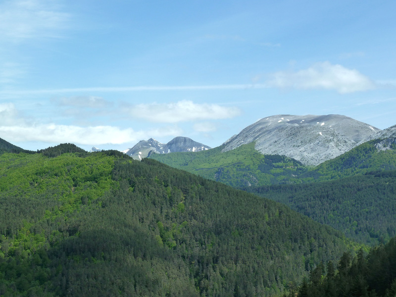
El Lakora.
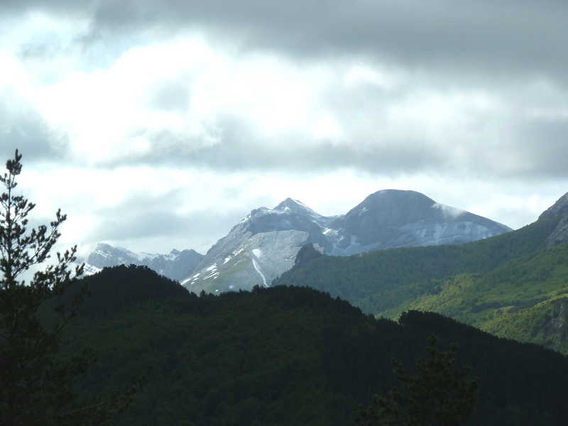
Mirada a la Gorreta de Los Gabachos.
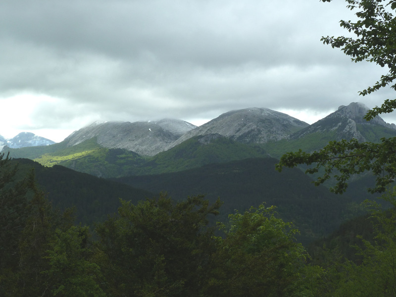
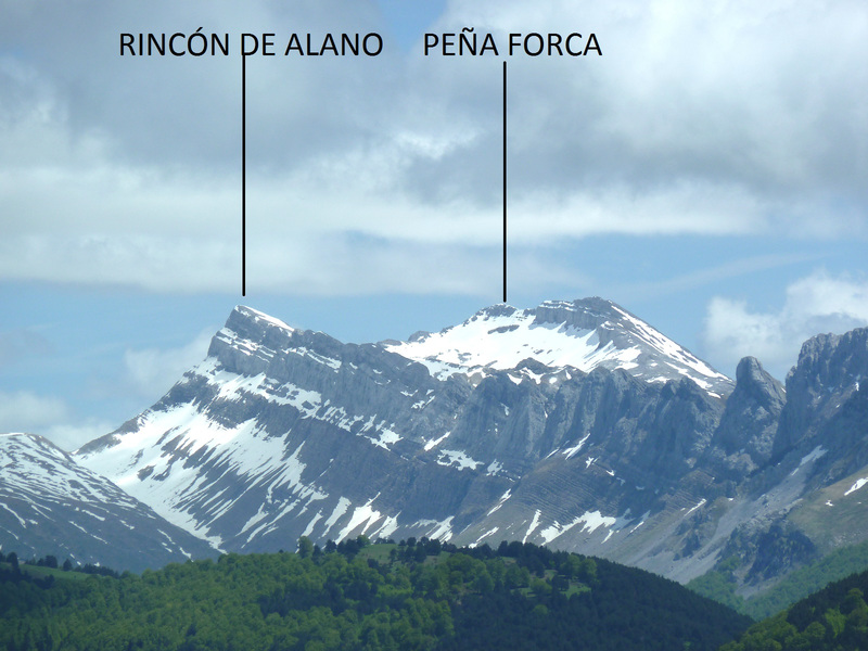
Hacia Los Alanos.
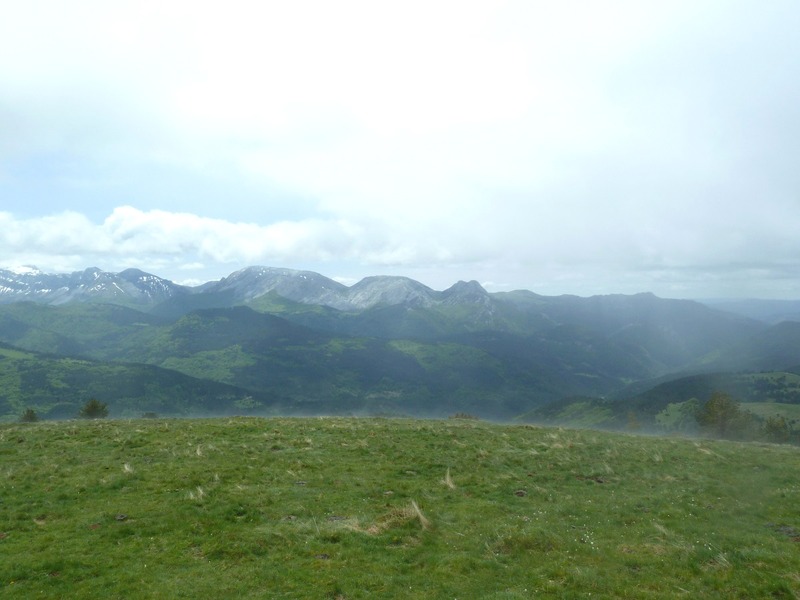
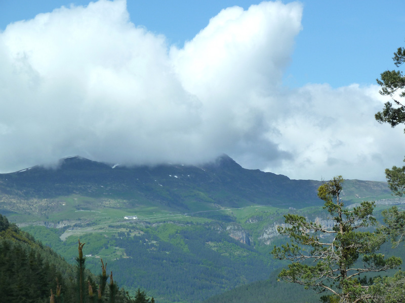
El tiempo empieza a torcerse.
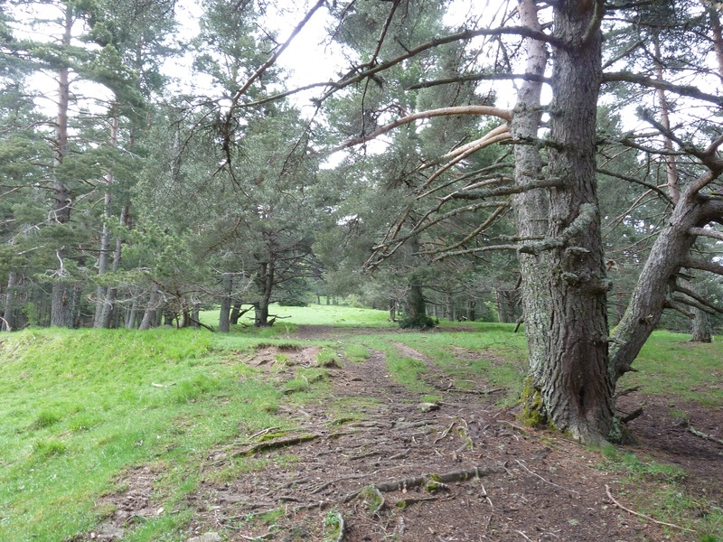
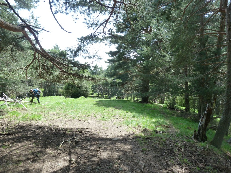
La pista.
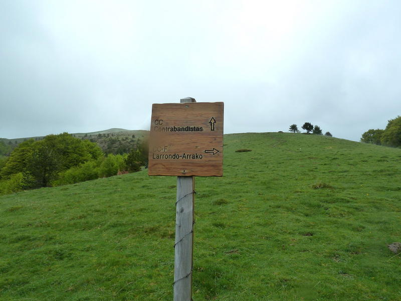
Llegamos al final de la pista y las marcas nos dicen que por la izquierda.
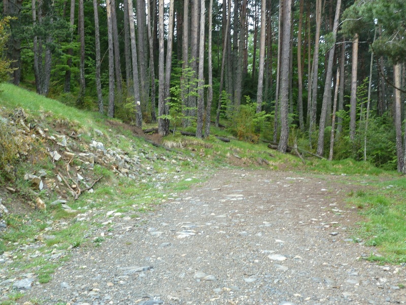
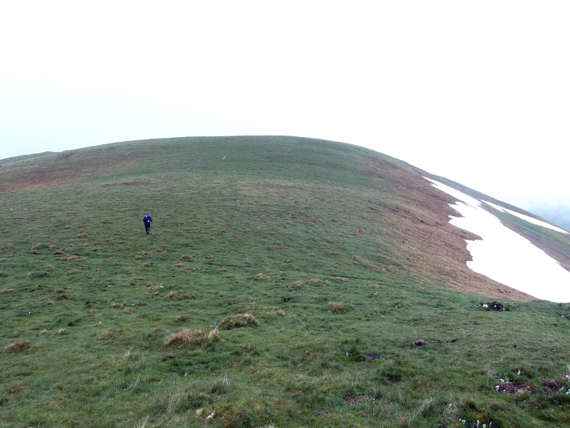
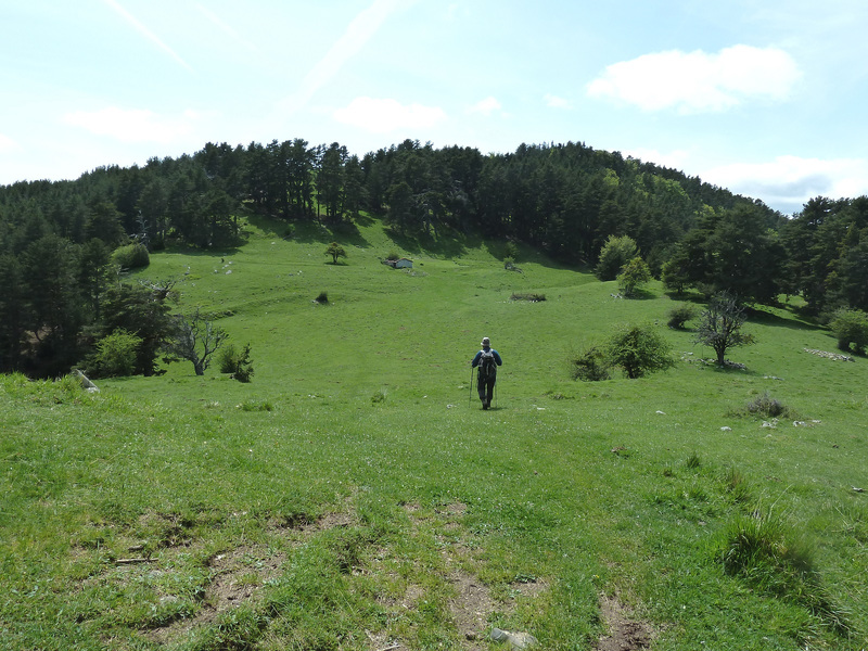
Salimos al lomo de la sierra.
Una mirada atrás.
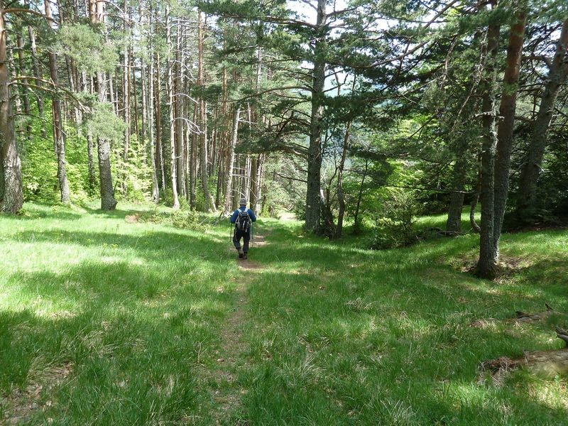
Seguimos el sendero.
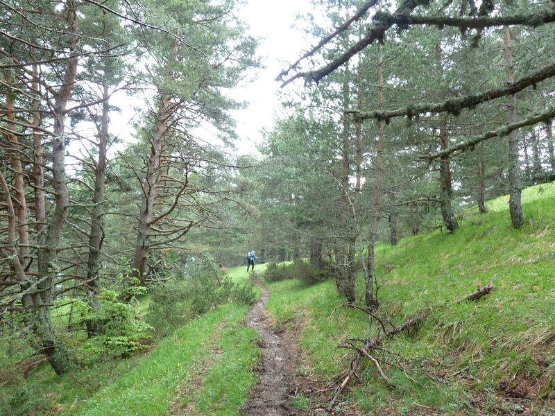
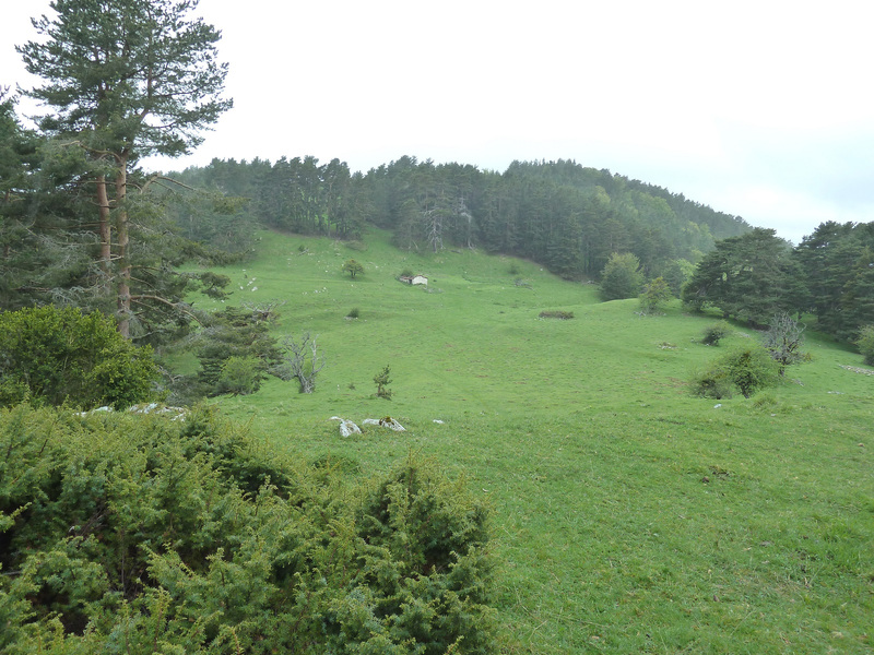
Salimos donde esta pista que seguro vendrá del valle de Mintxate.
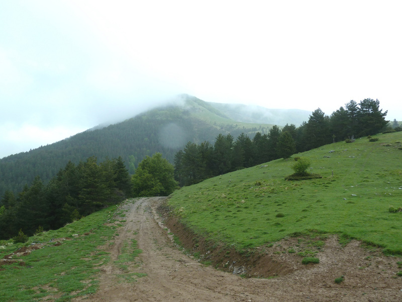
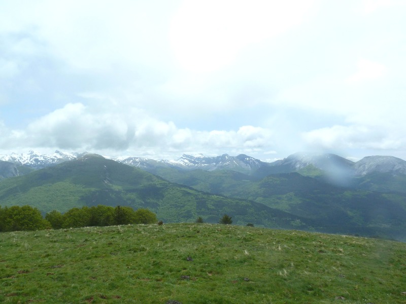
Vamos para arriba, las nieblas no dejan ver mucho.
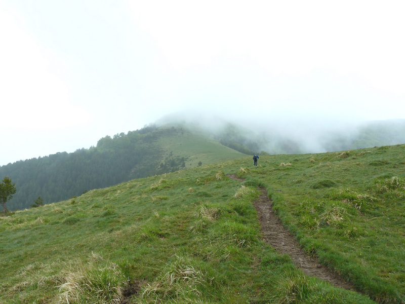
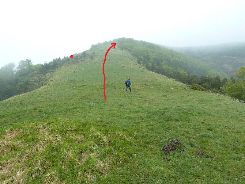
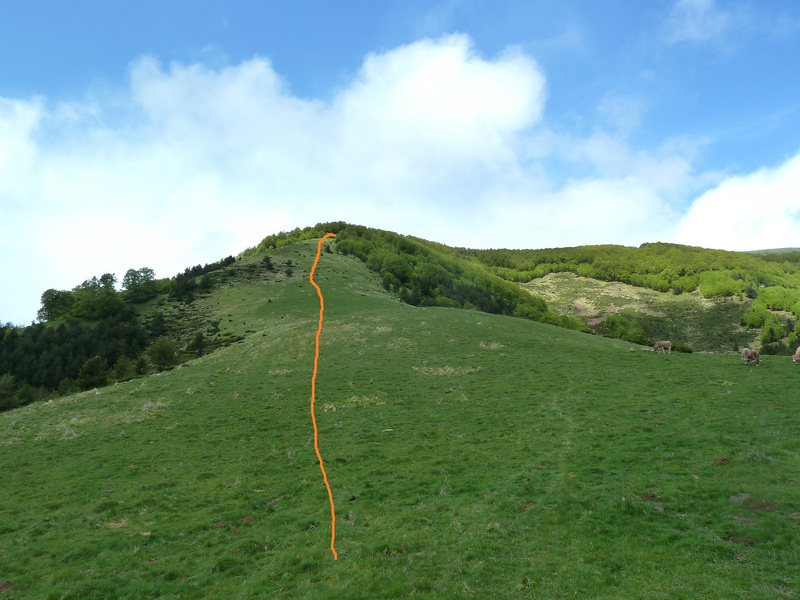
Hay que seguir todo tieso, nosotros hemos marchado por donde el punto rojo y ha sido un marrón.
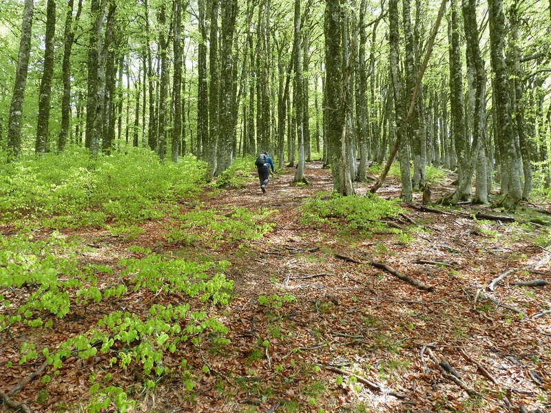
Por el hayedo.
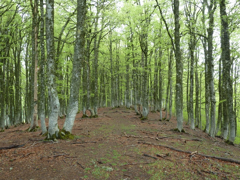
Vamos hacia la cima.
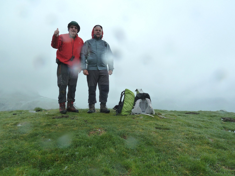
Con Juan en la cima de Larrondoa.
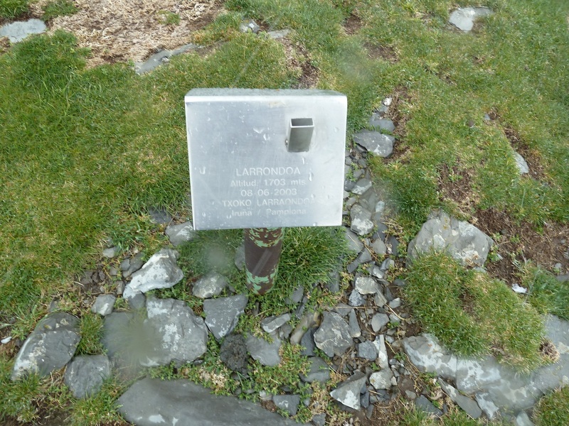
Buzón.
Empieza a verse algo.
Done está Juan un poco más abajo esta la senda de Los Contrabandistas.
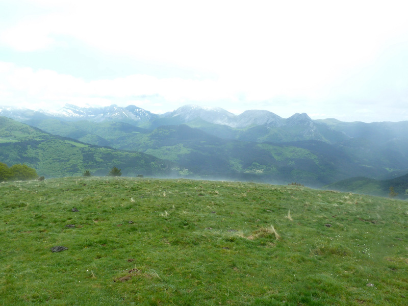
Mirada.
Vamos bajando y mirando.
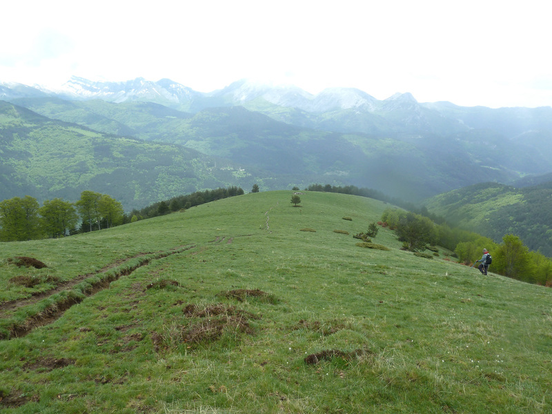
Hacer caso a la foto, subir por lo rojo y bajar también no os penará.
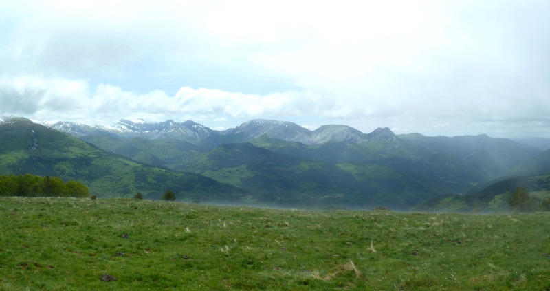
Miradas.
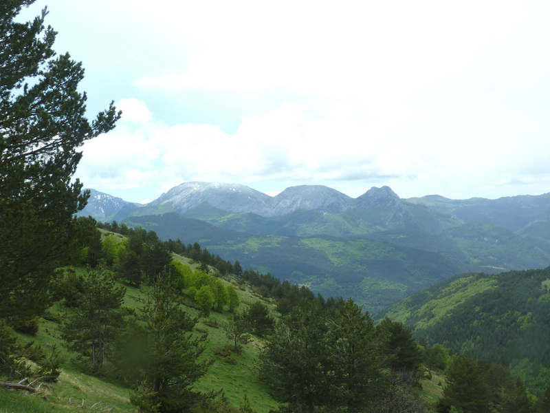
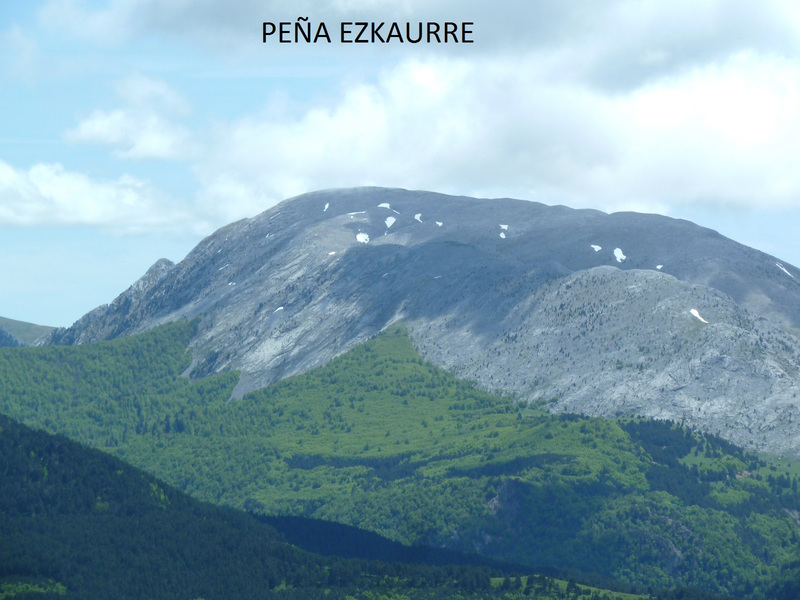
La Peña Ezkaurre.
Esta es sacada a la mañana.
Bajamos.
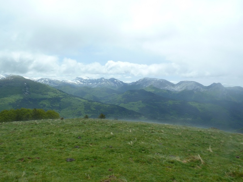
Sigo mirando.
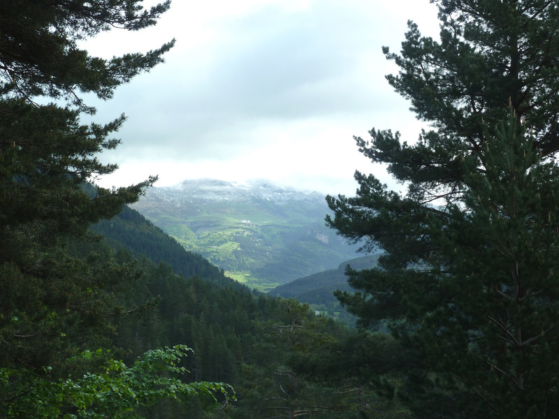
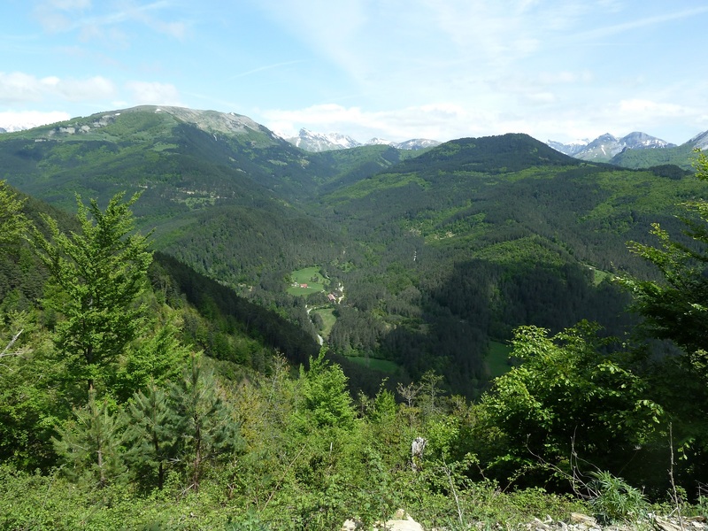
Abajo el camping de Asolace.
Así entraban las nubes.
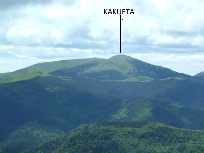
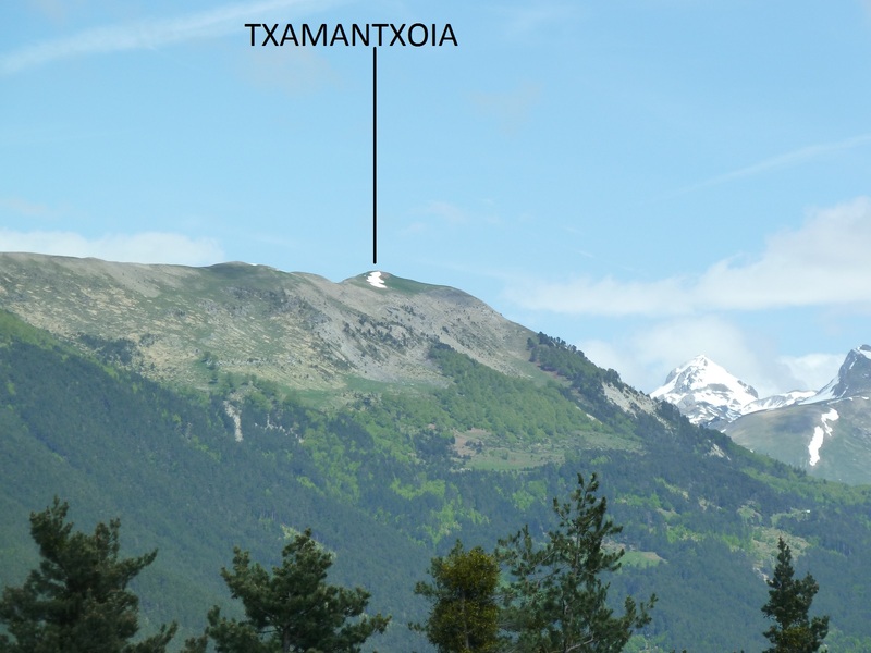
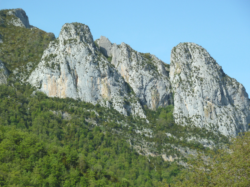
Estas peñas están encima de Isaba.
Pongo un enlace de cuando estuve edn el 2010 en esta montaña para que veáis las vistas que ofrece esta cima.
PINCHAR PARA VER

¡¡¡ Joder Xabier !!! ............. con lo bueno que estaba por el valle, ........... aunque conforme avanza la jornada parece que por los altos también despejaba. Queda claro que un poco de niebla no os echa para atrás, buenos sois vosotros. Bonita esa subida y muy interesante, tomo nota. La última vez que pasé por Larrondoa lo hice subiendo desde Mintxate y también pisamos nieve en la cima. Bonito monte al que tengo ganas de volver.
ResponderEliminarUn saludo figura
Aupa Oscar. Fue una pena que en la cima no había vistas aunque ya en la bajada tuvimos más suerte.Un poco de niebla sabiendo el camino no nos amilana. Ya veo que conoces la zona.Pues si vuelves que tengas más suerte que nosotros. Gracias por la visita.
ResponderEliminarUn saludo.
Aupa Oscar. Fue una pena que en la cima no había vistas aunque ya en la bajada tuvimos más suerte.Un poco de niebla sabiendo el camino no nos amilana. Ya veo que conoces la zona.Pues si vuelves que tengas más suerte que nosotros. Gracias por la visita.
ResponderEliminarUn saludo.